|
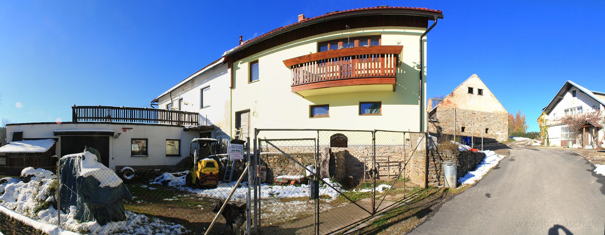 |
| Brantlhof / Brantlův Dvůr |
| Datum: 2012-10-31 | Breitengrad: N 49°3,164' | Längengrad: E 13°45,922' | Höhe über NN: 796 metres | GPS-Zeit: 9:34:49 UTC | Karte anzeigen |
| Anzahl Bilder: 471 | Letzte Aktualisierung: 2018-04-06 | Hilfe |
|
|
|
| Brantlhof / Brantlův Dvůr |
| Datum: 2012-10-31 | Breitengrad: N 49°3,164' | Längengrad: E 13°45,922' | Höhe über NN: 796 metres | GPS-Zeit: 9:34:49 UTC | Karte anzeigen |
| Anzahl Bilder: 471 | Letzte Aktualisierung: 2018-04-06 | Hilfe |